-By ArdorComm News Network
March 25, 2023
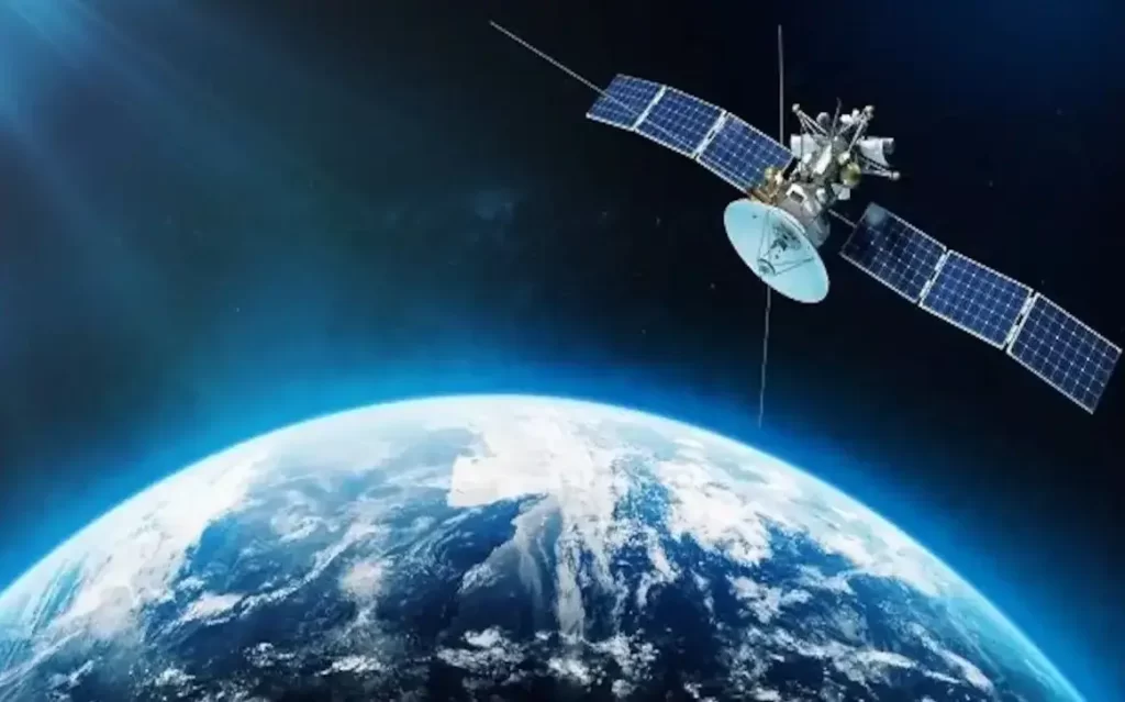
An earth science satellite called NISAR (NASA-ISRO Synthetic Aperture Radar) was jointly created by the Indian Space Research Organization (ISRO) and the National Aeronautics and Space Administration of the United States.
The satellite’s mission includes designing, developing, and launching a dual-frequency (L and S band) radar imaging satellite as well as exploring newer application areas for L & S band microwave data, particularly in surface deformation studies, terrestrial biomass structure, mapping and monitoring of natural resources, and studies pertaining to the dynamics of ice-sheets, glaciers, forests, and oil slicks, among other things.
This information was provided in a written reply to a question asked in the Rajya Sabha earlier this week by Union Minister of State for Science & Technology, Space, and Earth Sciences Dr. Jitendra Singh.
An Earth observation satellite equipped with a dual-frequency synthetic aperture radar will be launched as part of the NASA-ISRO Synthetic Aperture Radar (NISAR) mission, a joint project between NASA and ISRO.
According to the minister, the instrument designated for SAR is based on the cutting-edge Sweep SAR technique and is configured in both the L and S bands in polarimetric mode for wide swath and high resolution.
With an inclination of 98.4 degrees and a 747 km sun-synchronous orbit around the Earth, the spacecraft will repeat its orbit every 12 days. According to Dr. Singh, ISRO provides the S-band SAR payload, spacecraft bus, and launch services, whilst NASA provides the L-Band SAR payload, high precision GPS, and 12 m unfurlable antenna.
He stated that, as of February 2023, ISRO has spent a total of Rs 469.40 crore, excluding launch costs, on the creation of the NISAR satellite.
Using two different radar frequencies (L-band and S-band), NISAR will be the first radar of its sort in orbit to systematically map Earth. It will measure changes to the planet’s surface, including movements as small as centimetres.
Synthetic aperture radar (SAR) is a method for creating high-resolution images from a radar system that has limited resolution.
The satellite will be used for remote sensing, which enables observation and understanding of Earth’s natural processes. The Antarctic cryosphere will be studied by its left-facing instruments. NISAR is set to be the most expensive Earth-imaging satellite in the world, with a total cost estimated at US$ 1.5 billion.


